Export
Select Export above the map. Choose what outputs you wish to export and the required output format. Select Download ZIP.
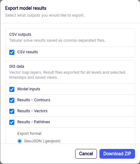
| Export group | Contents and formats |
|---|---|
| CSV outputs | Tabular solve results as comma-separated files. |
| GIS data | Model inputs and solved contours, vectors, and pathlines. Choose GeoJSON, Esri Shapefile, or GeoPackage. |
| Gridded data | Head, extraction, or interface elevation where available. Choose XYZ, Surfer grid, or GeoTIFF. |
You can export Model inputs before solving. The results you can export depend on what the current solution contains. To save the map as it looks on screen, use Save map image.
To export a result for one feature, open the graph panel and select Export CSV.